3D Laser Scanning

Laser scanning gives a real-world view in a form of millions of points in data. Laser scanners will pick up around 2million points per second, with a range of low to super high resolution.
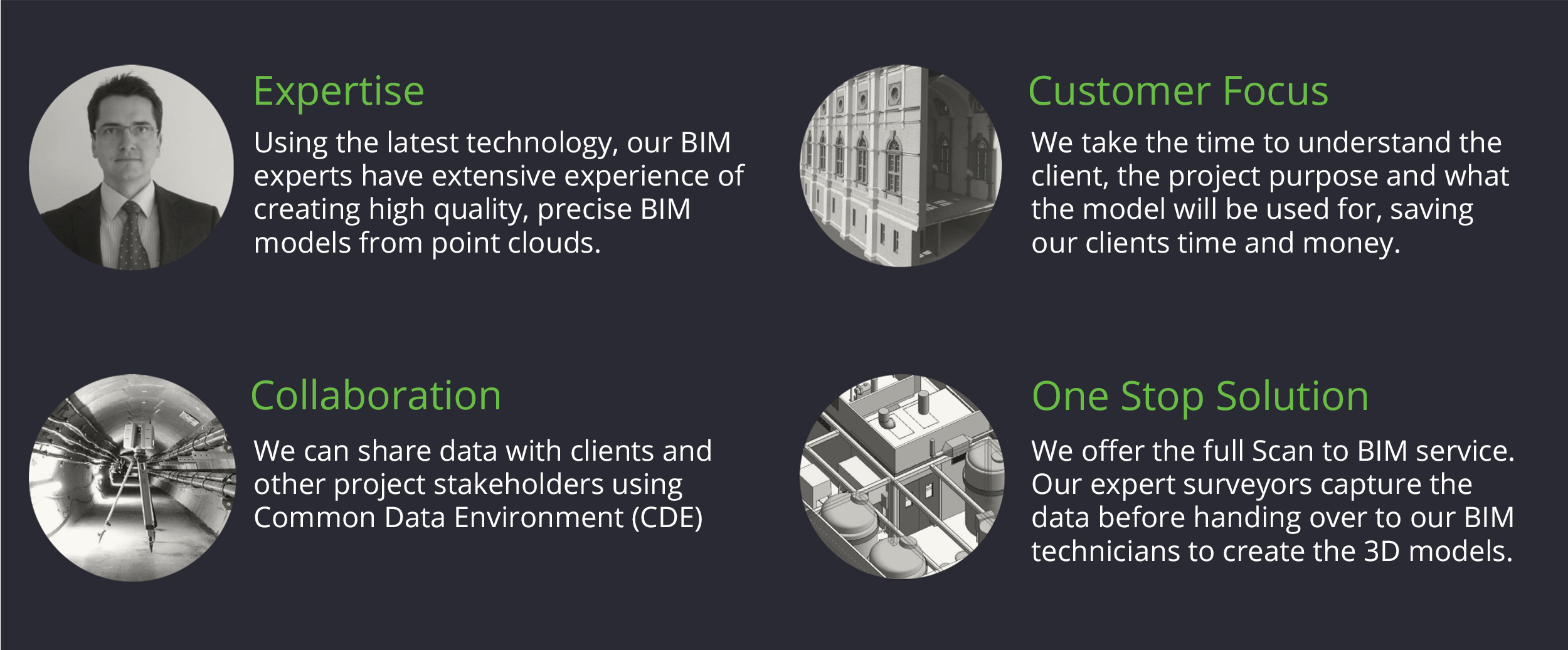
3D laser scanning provides Technics with a wider range of data collection and software output for clients alongside traditional survey technology. The technology is designed to automatically capture large volumes of 3D survey points – known as point cloud – on the surface of buildings, structures and highways. The captured point cloud data can then be used by our BIM experts to accurately recreate a virtual model of the structure or area.
How does 3D laser scanning work?
Building up a three-dimensional picture of a survey site requires a combination of distance measurements and steering laser beams in a controlled manner. The scanning motion is controlled by a rotary encoder, which guides the beams by adjusting numerous scanning mirrors.
The 3D laser scanner can be set up in any location and moved about more freely compared to a traditional Total Station. We use a variety of scanners at Technics including scanners that can get into the most awkward and tight spaces, high res scanners that can pick up more detail at larger distances and more nimble scanners that can pick up the smallest of cupboards and spaces.
Multiple scans are typically combined into a common reference system to create a complete picture of the site – a process referred to as “alignment” or “registration”.

What do we do with the captured data?
Once our land surveyors have captured the required data on site it is then uploaded into the registration software to allow more accurate alignment of scan data, apply control and export clean registered data to clients, BIM technicians and scan to CAD services.
Cleaning the data is a vital process for scan registration as it allows for a clean visual point cloud. This process includes cleaning noise from glass, excess scan data of areas outside the survey extents and allowing for a tighter overlap of scan points when visually aligning. Cleaned scan data means the BIM technician and or client can view the point cloud as if they were on site looking at the real-world structure.
How is laser scanning data delivered to clients?
The point cloud data can be exported in multiple ways to accommodate the project requirements. The most common forms of exportation are: .e57, .ptx, .txt, .rcp, .rcs, .LGS and upload to Leica Jetstream enterprise.
LGS, RCS and RCP formats allow the client to visually inspect the point cloud before receiving the final product. This can give the client a great insight to what data will be included in the final model and can allow for measurements of the point cloud to be undertaken in Jetstream viewer and or Autodesk ReCap prior to final delivery. Both of these are great tools which allow our clients to follow the progress of works and communicate their needs with the modelling team throughout the project duration.

Using various suites of software, Technics can then deliver the following outputs:
- 3D wire frame line models
- 3D rendered models
- 2D and 3D models for measured floor plans, elevations and sections
- TruView
- Animated visualisations
- Survey4BIM 3D Revit models, compliant with PAS 1192-2
The benefits of 3D laser scanning
Speed and Accuracy… 3D laser scanning collects large amounts of highly accurate data in seconds compared to more traditional methods. The speed at which data can be captured reduces time on site for our surveyors and the accuracy of the data results in less need for return visits to the site, both of which save the client time and money.
Flexibility… Laser scanning allows for anywhere to be surveyed. A great example of this is when all areas of a building including MEP systems above false ceilings are to be detailed and modelled. The laser scanner allows us to capture data above the false ceiling tiles effectively and precisely. The scanners can be attached to an extendable tri-pod and raised above the small tiles to capture a quick scan of the MEP systems and any structural beams, pillars etc
Onsite Alignment… Cloud to cloud allows for the ease of setting the scanner up within view of the same detail as the previous scans, which allow for on site alignment using common detail. This means that scans can be overlayed onto one another and merged together to create a 3D point model without the need to use targets.
Onsite Registration… We also use the Leica Field 360 app which allows for quicker processing. The app connects to the scanner via WiFi and has a Realtime scanner location feature which shows a 3D point cloud of the captured data from the previous scans. This allows for data alignment on site, which in turn saves time and money in the office.
Safety… The risk of hazards to geospatial surveyors in complex or inaccessible areas is significantly reduced by using laser scanner techniques. With a survey range of up to 300 metres, all areas can be surveyed remotely, with high-speed data collection of up to one million points surveyed per second (accurate to ± 3mm).
Minimises Disruption on site… Due to the speed of our laser scanners, we are able to capture data quickly and discreetly with minimal or no disruption to other people working or living on the site.
High level of detail… 3D laser scanners are also beneficial on specific site settings, such as surveying detailed historic and heritage buildings. They can provide comprehensive point cloud data for complex petrochemical sites, tunnelling projects and industrial environments.

Contact Us
Want to find out more about what we’ve been working on? Why not ask us a question about our BIM expertise? If you would like to discuss how Technics can support with your BIM project, then please call one of our offices or email enquiries@technicsgroup.com