

Welcome toTechnics

Specialists in Surveying, Utility Mapping & Ground Investigation Consultancy Throughout the UK

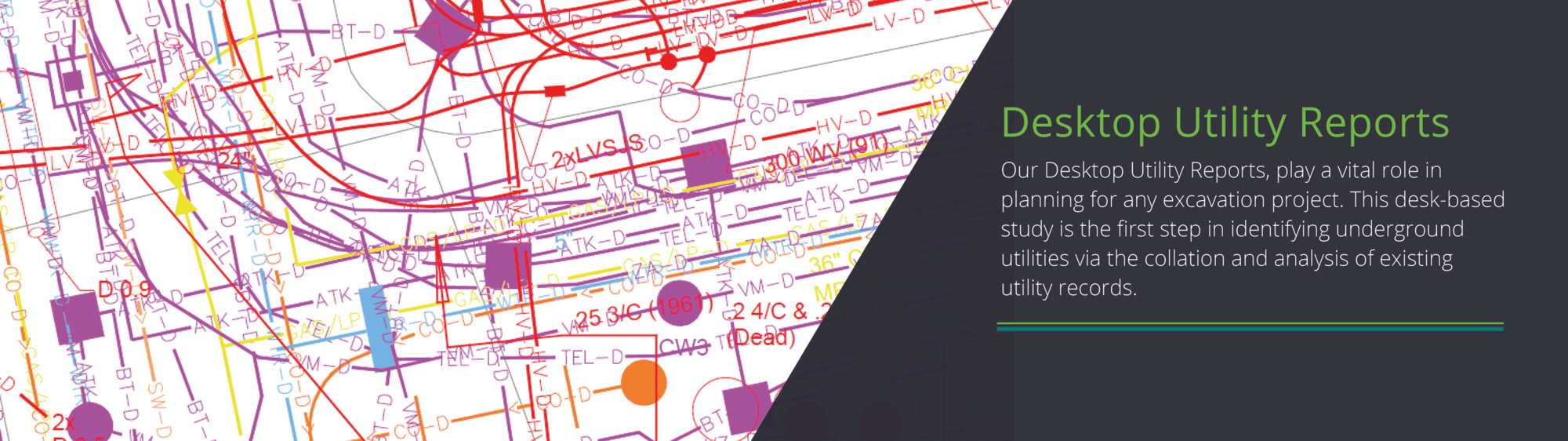
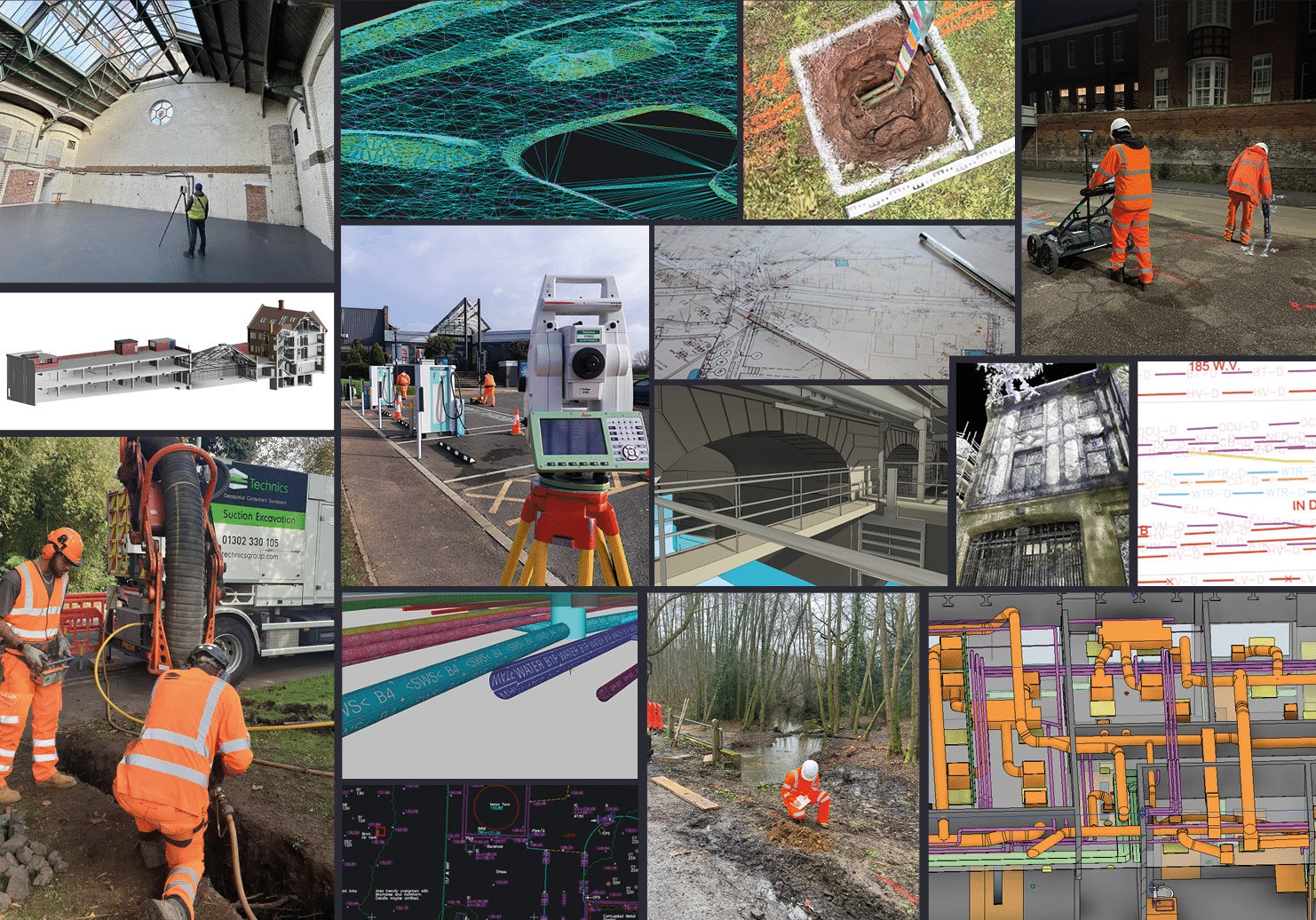
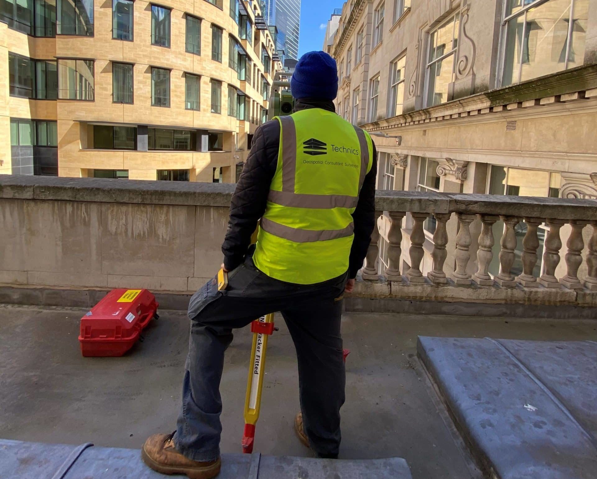
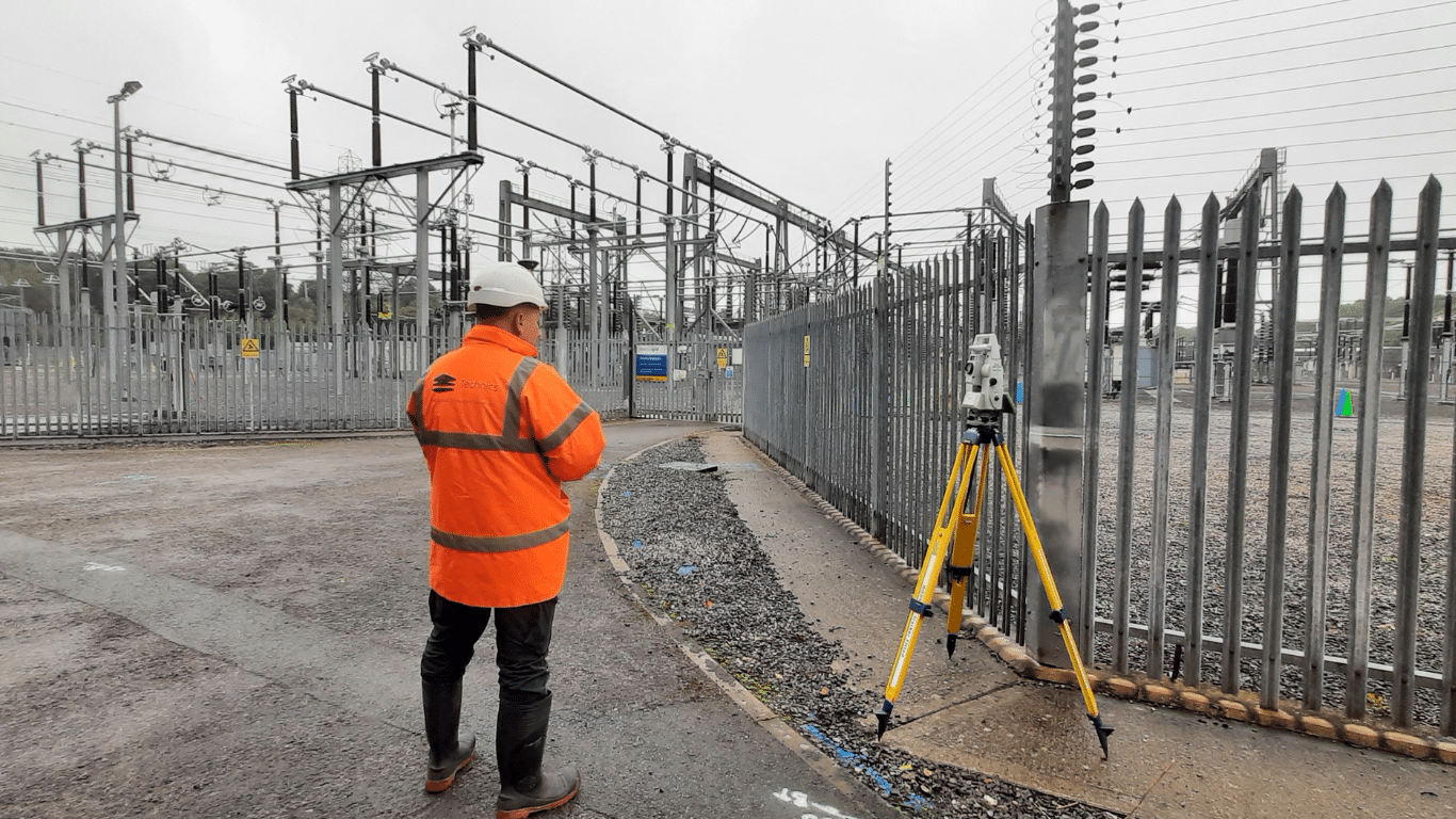
Technics is a leading geospatial and ground investigation consultancy delivering accurate survey data, underground utility mapping, and site investigation for construction, infrastructure, and property development projects across the UK.

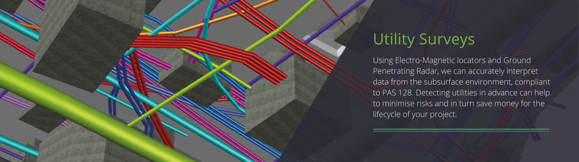
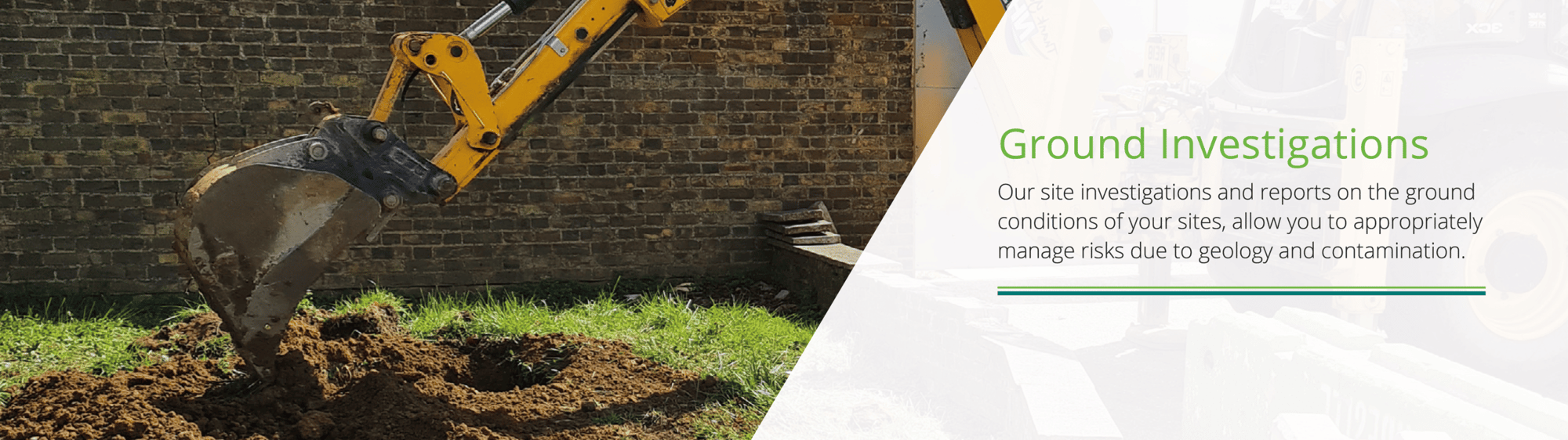
We aim to reduce project risk, avoid costly delays, and enable confident decision-making from feasibility through to handover. From PAS 128 utility surveys and topographical mapping to Phase 1 Desk Study and interpretative reporting, our data gives you the insight and assurance needed at every stage of the construction lifecycle.

Latest project

Case Study: Princes Wharf, London, UK

Case Study: Princes Wharf, London, UK

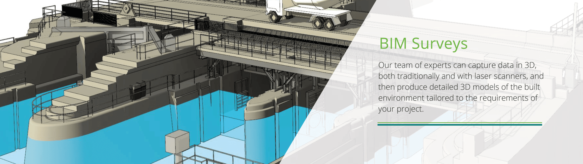
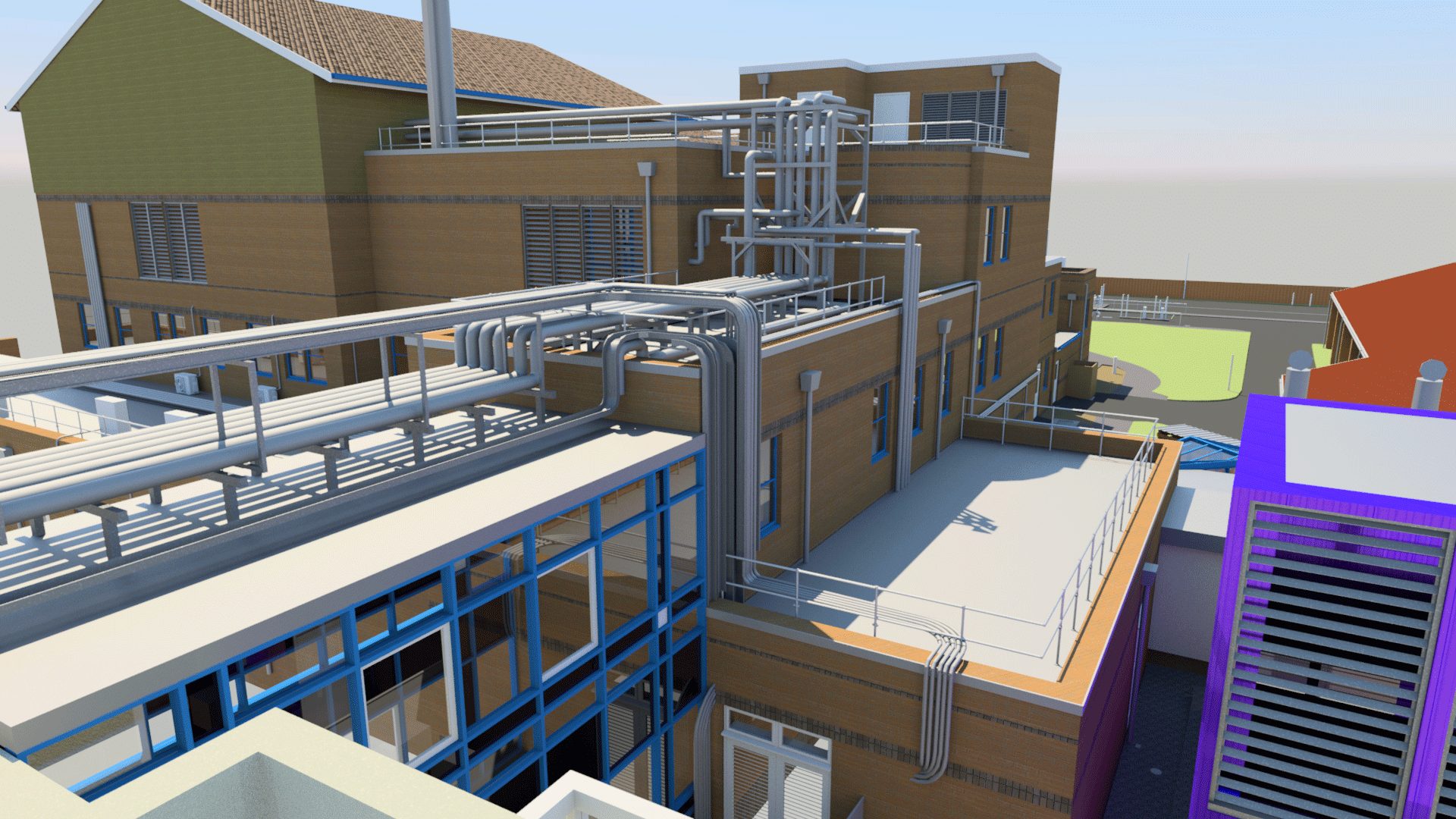
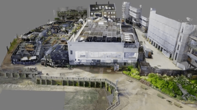
Client: Coin Street Services: Revit, laser scanning, point cloud capture Location: London, UK Project summary & client purpose: Technics was commissioned to capture high-resolution geospatial data at Princes Wharf, London, to support Coin Street in a vision-setting project for the future of this prominent riverside…


Latest news

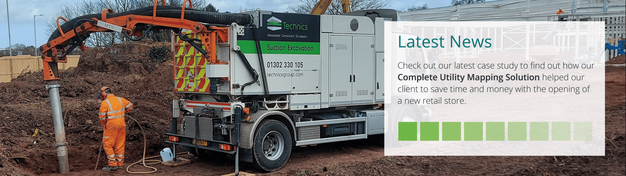
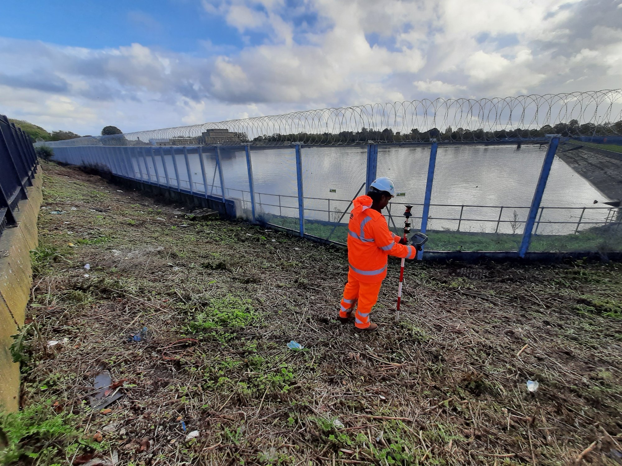
On site with Kobee Fawkes: Ground Investigation explained

What really happens before construction begins?

Some people we have worked with

We work with Tier 1 contractors, architects, engineers, developers, and private landowners, tailoring our approach to meet each project’s specific requirements and compliance obligations.

Our reputation is built on technical expertise, open collaboration, and dependable delivery. By investing in people, technology, and industry best practices, we continue to raise standards and remain a trusted partner to clients nationwide.

MFG Therma Mech Vattenfall Vital Energi Hemiko Kier Idox Ringway Hydrock Surrey County Council Bam Nuttall Balfour Beatty Volker Fitzpatrick Heathrow Morgan Sindall Huf Haus Willmott Dixon

Our Accreditation & Associations

Constructionline Builder's profile UKDEA Safe Contractor Chartered ICES The Survey Association