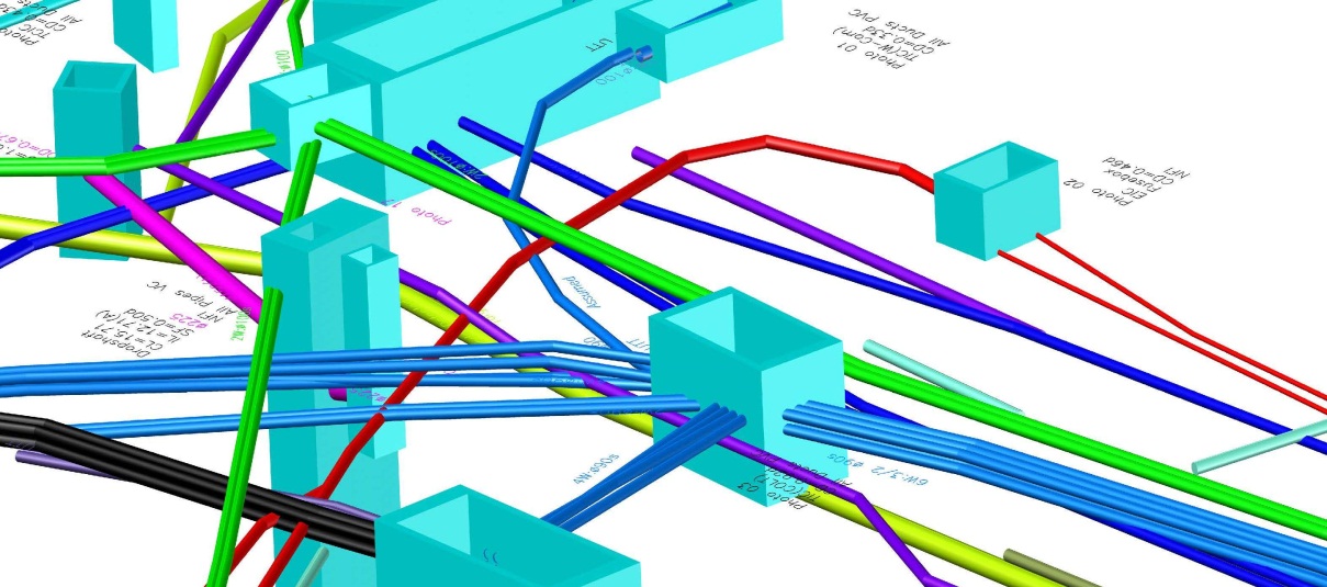
Laser Scanning – Verticality Deformation Survey
Technics Group were recently appointed to carry out a verticality deformation survey of a block of flats in Canterbury, Kent. The site was a modern,...
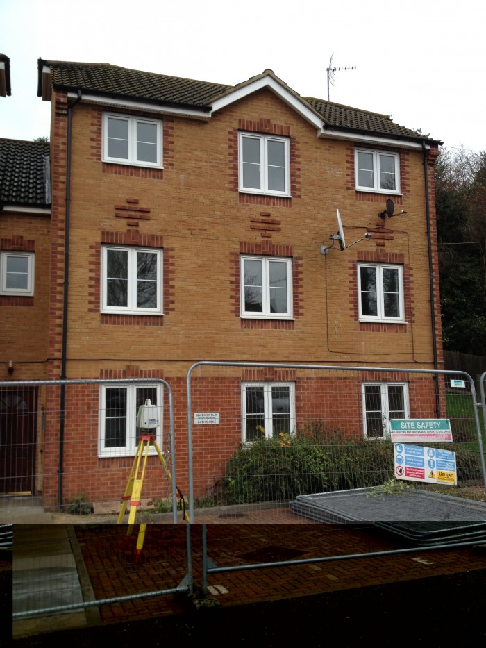
Technics Group were recently appointed to carry out a verticality deformation survey of a block of flats in Canterbury, Kent. The site was a modern,...
A sub-contractor from Highley has been fined for safety breaches after a worker was burned by a ‘jet of fire’ when he hit an underground electricity...
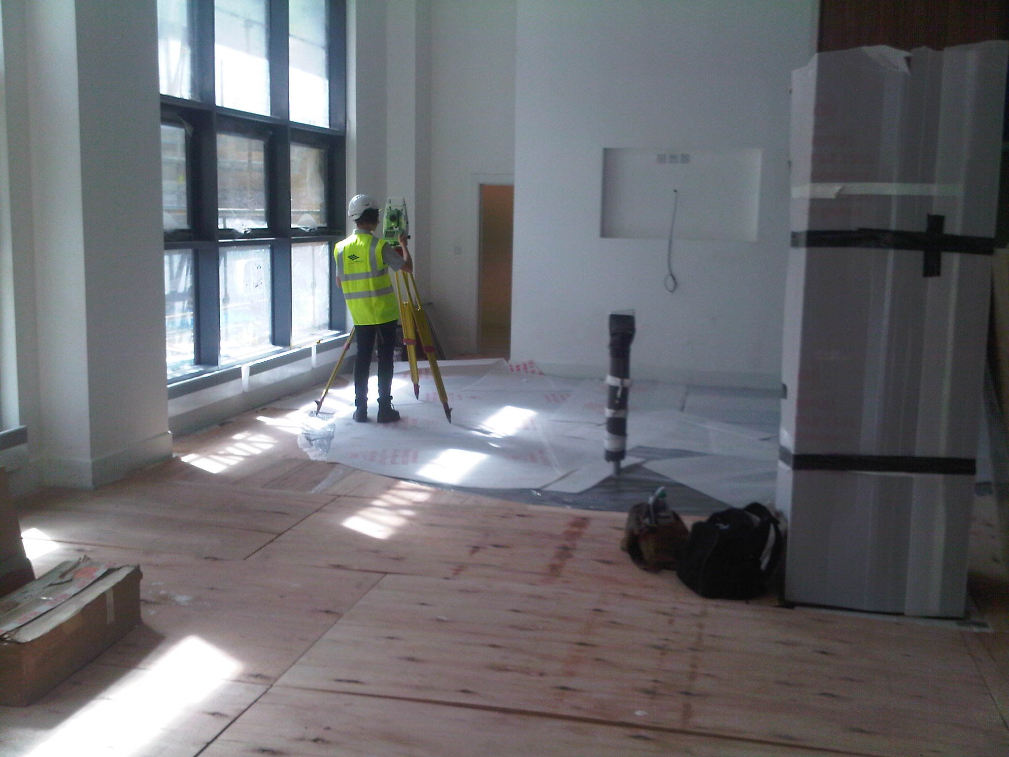
Accurate building Net Internal Area calculations have a variety of uses including as built assessment, marketing, H&S documentation and lease / rent...
The Survey Association has released a video to help promote its excellent Utility Surveys guide. This is the first best practice guide in the UK and...
Leica has been supplying precise network corrections for GPS RTK for 5 years now through its spider software network.
The new ‘all-in-one” Scanstation C10 delivers faster, more accurate survey points in High-Definition. The Scanstation is much faster than its...
GPS is the acronym for the Global Positioning System. It is a planet-wide satellite navigation and positioning system with applications ranging from...


.png?width=130&height=34&name=Untitled-design-2%20(1).png)