Everything You Need to Know About Topographic Surveys
If you’re planning a development, extension, or infrastructure project, then commissioning the right topographic survey at the right time can save...
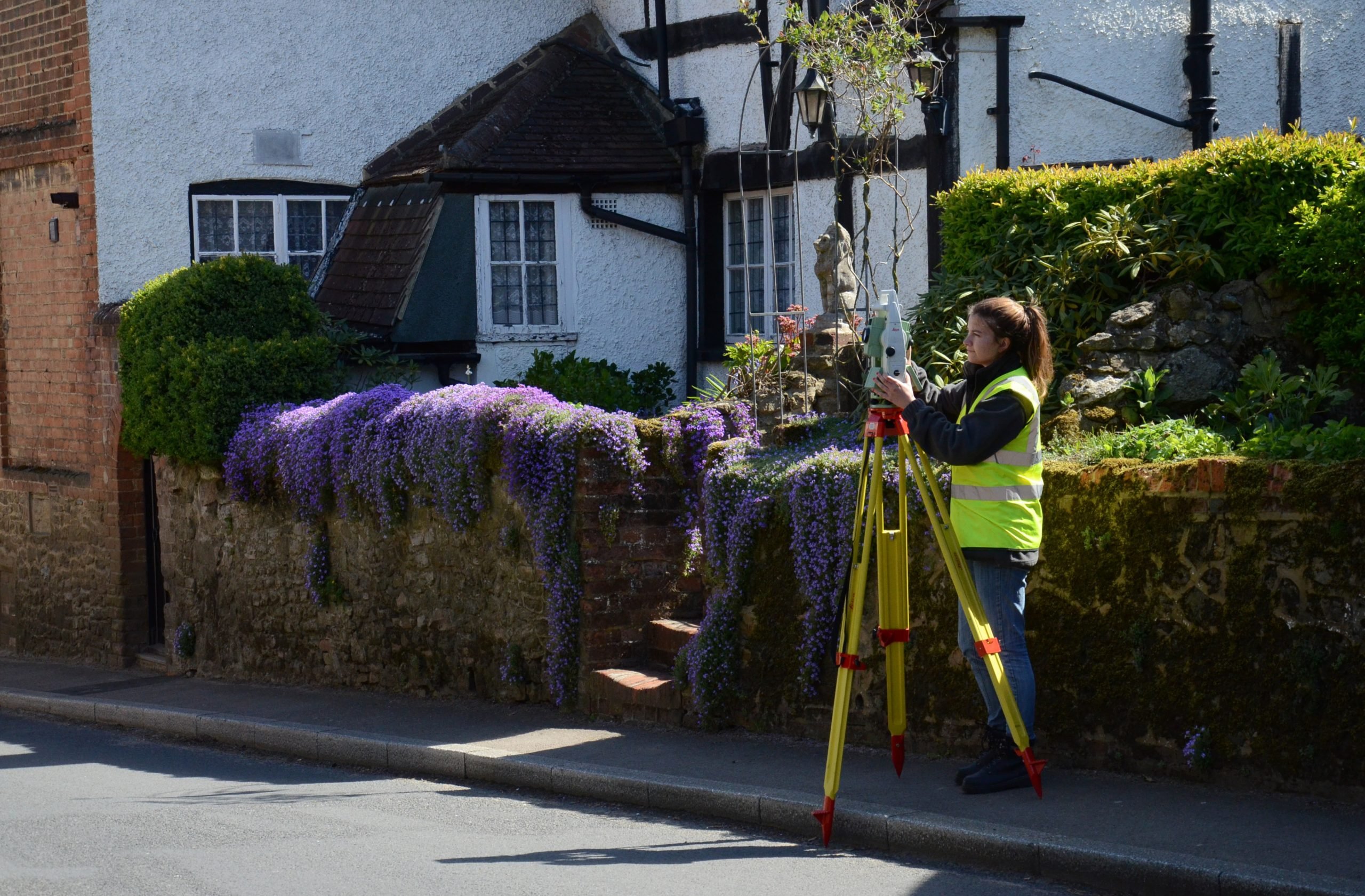
If you’re planning a development, extension, or infrastructure project, then commissioning the right topographic survey at the right time can save...
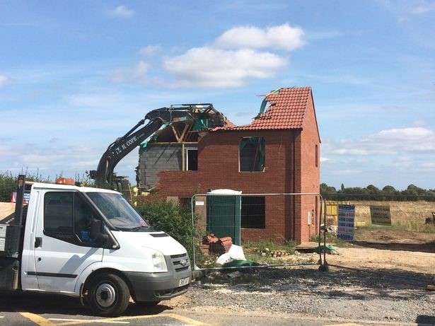
A recent case near Grimsby has seen one developer demolish a two-storey house worth at least £250,000 after it was built on a major water main – an...

Technics was able to use the physical features still present to resolve this boundary dispute, but what does it mean for the client when there are no...
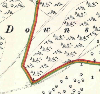
The Issue There’s a lot of confusion about boundary plans and what they actually show. The terminology doesn’t help much and only adds to the general...
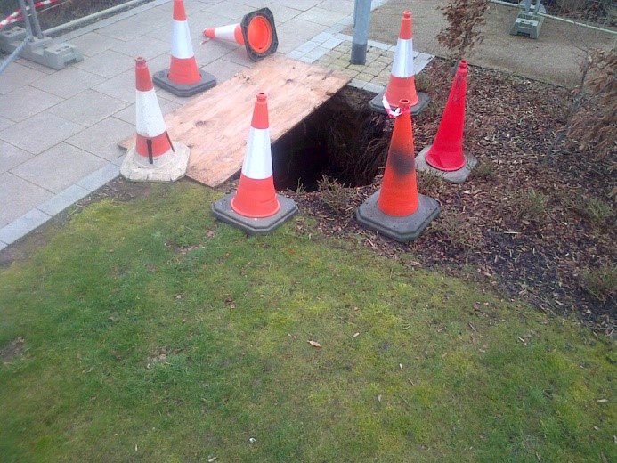
Technics Group invited their partner Arrow Geophysics to provide a Guest blog about subsidence and sinkholes, which as we know have been highlighted...
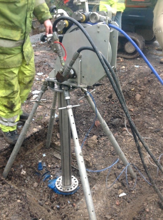
Technics Group is pleased to announce a unique technique which can determine, at surface, the position and depth of below ground water bearing...
When locating the utilities running through a site, not every project will require an in-depth, comprehensive search to be conducted. For projects...
In the September edition of Civil Engineering Surveyor magazine Alasdair Snadden wrote an article looking at how Building Information Modeling (BIM)...
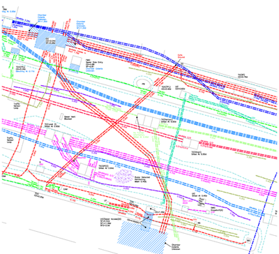
What is Utility Mapping? A utility map shows the positioning and identification of buried pipes and cables beneath the ground. The procedure involves...
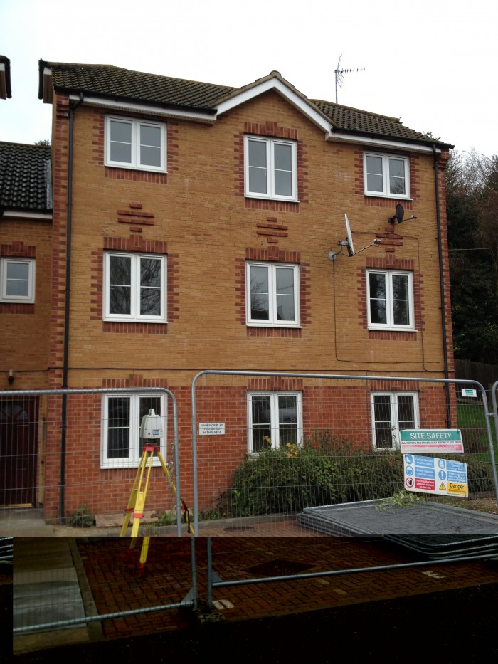
Technics Group were recently appointed to carry out a verticality deformation survey of a block of flats in Canterbury, Kent. The site was a modern,...


.png?width=130&height=34&name=Untitled-design-2%20(1).png)