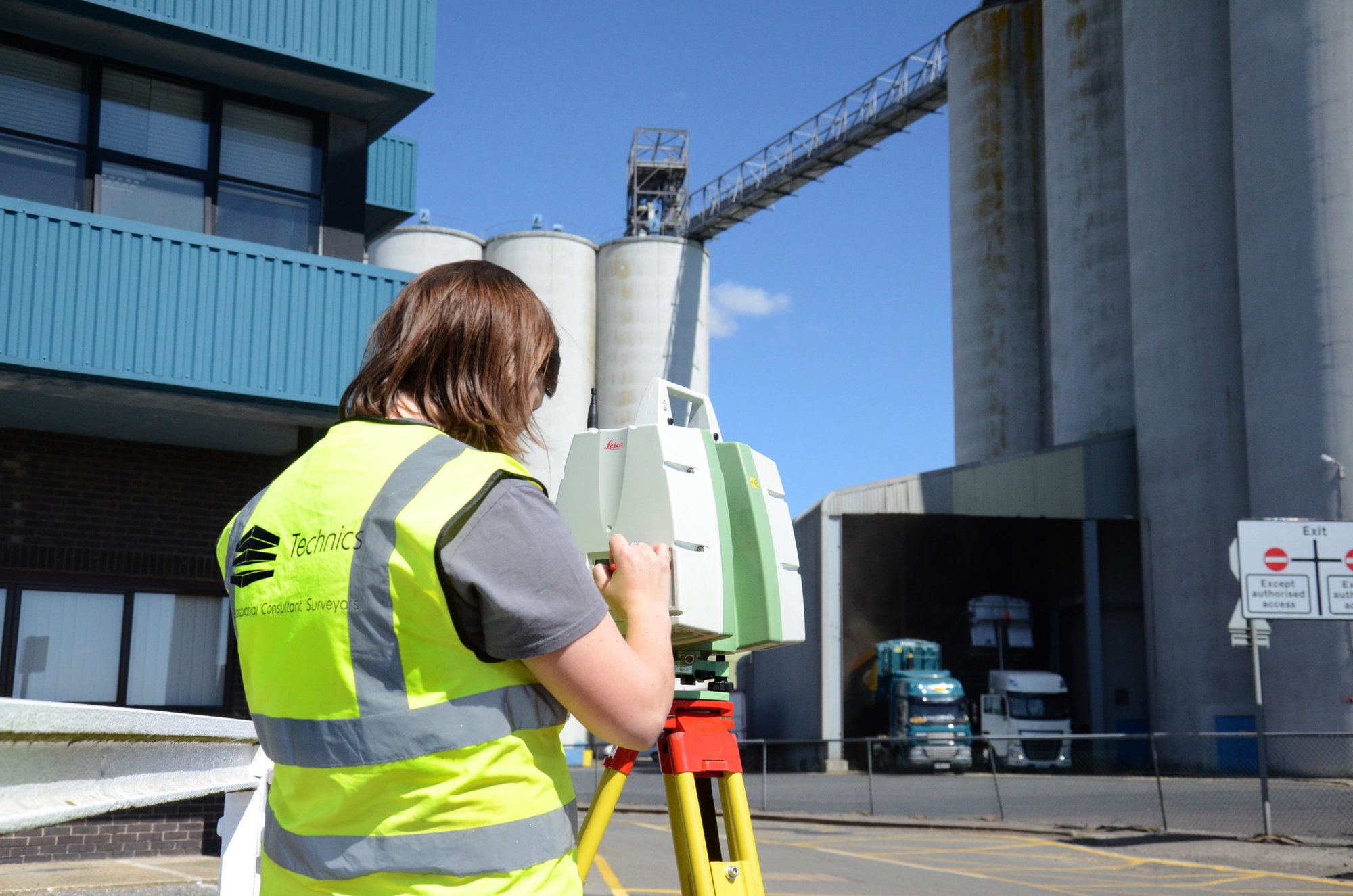
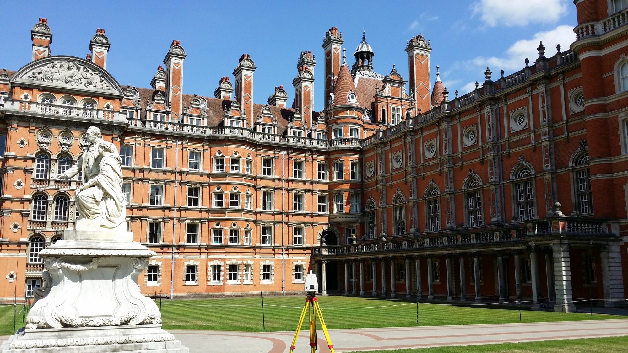
Technics provides detailed, geospatial mapping across eight sectors that fall under the remit of public, private and major infrastructure projects and which delivers surveys for property, transport and historic buildings. Our team of land surveyors has delivered over 800 projects with each one tailored to the specific challenges that individual sectors can pose.








.png?width=130&height=34&name=Untitled-design-2%20(1).png)